






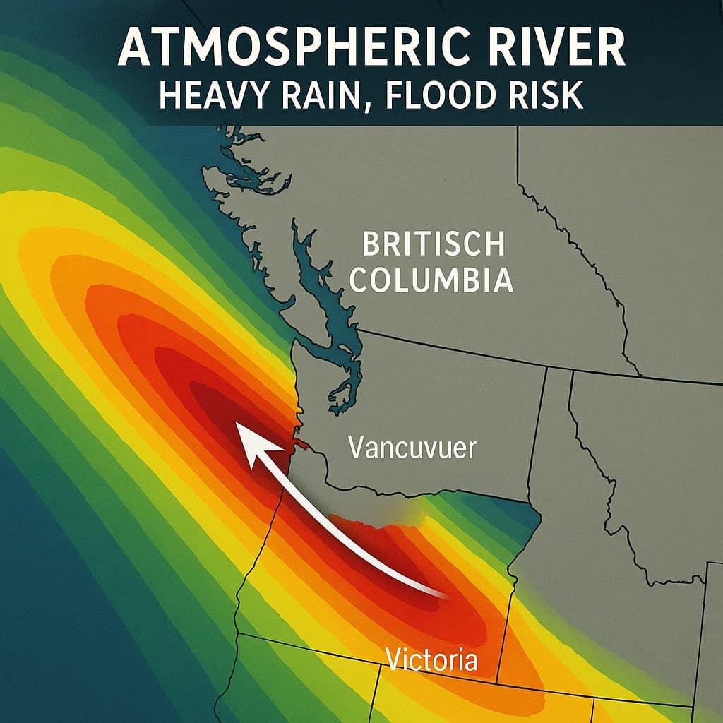
BRITISH COLUMBIA – An atmospheric river is arriving in the coming days, setting off a train of significant, soggy weather across British Columbia over the next week. The robust stream of moisture, fueled by Pacific air originating near Southeast Asia, will bring back-to-back rounds of heavy precipitation and hazardous travel conditions.
The atmospheric river moving into the West Coast on Monday will hit B.C. with AR-2 to AR-3 intensity, meaning the region will see beneficial rains that could prove hazardous in spots. Forecasters note that the intensity is high enough to warrant concern, particularly for river flooding due to the persistent rainfall.
Heavy Rain and Flood Risk
The Lower Mainland is forecast to receive another 40–80+ mm of rain during the main event, spanning Monday through Tuesday. Residents are advised to watch for pooling and ponding on area roadways as local waterways struggle to keep up with the excess runoff.
Luckily, a dry pattern over the past week will provide some breathing room for the watershed, slightly mitigating the immediate flood risk. However, river flooding remains a possibility.
Eastern Vancouver Island, including Victoria, will see minimal rainfall, as the strong northwesterly flow against the island’s mountains protects that area from the heaviest precipitation.
Alpine Passes Brace for Major Snowfall
While the Lower Mainland faces flooding, the high-altitude regions of B.C. are preparing for significant snowfall:
- North and Central Coast Mountains: Forecasts call for 50–100 cm of snowfall through the weekend and into Tuesday.
- South Coast Mountains: Expected to receive 30–50 cm of new snow.
- Interior Mountains: The Columbia and Rocky Mountains are forecast to see 20–40 cm.
Freezing levels will hover around 1200 metres over the weekend, causing heavy snowfall over major routes like the Coquitlam and Allision Passes. Drivers should anticipate hazardous conditions as heavy snow comes in pulses through late Sunday. The freezing level will briefly rise above 1800 metres on Monday evening but will dip back to 1100 metres on Tuesday.