






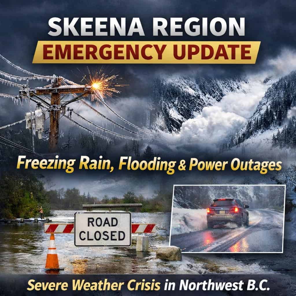
SKEENA NEWS WEATHER REPORT — On Monday, December 29, 2025, the Skeena Region Valley is navigating a “perfect storm” of meteorological hazards as a moisture-laden Pacific frontal system overrides a retreating Arctic air mass. This synoptic transition has triggered widespread freezing rain, torrential rainfall, and significant hydrological threats across the region.
Regional Meteorological Matrix
The thermal gradient across the valley is currently extreme, with coastal temperatures nearly double seasonal normals while inland sections remain in a dangerous “clash zone” of freezing precipitation.
| Location | Observed Max Temp (°C) | Primary Precipitation | 24-Hour Intensity/Volume |
| Prince Rupert | 9°C | Heavy Rain | 20–35 mm |
| Terrace | 9°C | Rain / Mixed | 10–15 mm |
| Kitimat | 5°C | Torrential Rain | 25–35 mm |
| Hazelton | 1°C | Freezing Rain / Snow | Moderate |
| Smithers | 0°C | Snow | 5 cm Accumulation |
High-Consequence Infrastructure Disruptions
Transportation and utilities are facing severe operational stress across the Northwest.
- Highway 16 (Yellowhead): A Major Travel Advisory is in effect. Travel is not recommended on the 105 km stretch between Terrace and the coastal boundary due to prolonged freezing rain.
- Highway 37: A Major Travel Advisory exists between Terrace and Kitimat due to a mix of freezing rain and slush. Further north, the highway remains closed between the Blue River Bridge and the Border Rest Area due to a vehicle incident, with no detour available.
- Power Outages: In the Hazelton area, 662 customers have been without power since Sunday evening after a tree fell across wires. Restoration efforts have been significantly delayed by hazardous road conditions.
Hydro-Geological and Avalanche Risk
The rapid transition from a deep freeze to a warm, wet regime has destabilized the region’s physical landscape.
- Flood Warnings: A Flood Watch is in effect for the Skeena River near Terrace and a Flood Warning for the Kitimat and Kemano Rivers. Total rainfall in the Kitimat area is forecasted to reach 100 mm through Tuesday.
- Landslide Hazard: The “rain-on-snow” event has created a high probability of landslides and debris flows, particularly in Kitimat and Terrace.
- Avalanche Danger: Classified as Considerable (3) at alpine and treeline elevations. Heavy rain and new snow are overloading deep persistent slabs, increasing the risk of large, naturally triggered avalanches reaching the valley floor.
Community Impacts and Safety Advice
- Prince Rupert: Residents are urged to clear catch basins to mitigate urban flooding caused by rapid snowmelt.
- First Nations Communities: The Nisga’a Nation and Witset are monitoring rising river levels and potential ice jams. Highway 113 in the Nass Valley is susceptible to landslides and submerged sections.
- Strategic Advice: Avoid all non-essential travel. If you must drive, confirm your 72-hour emergency kit is on board and monitor DriveBC for sudden closures.