





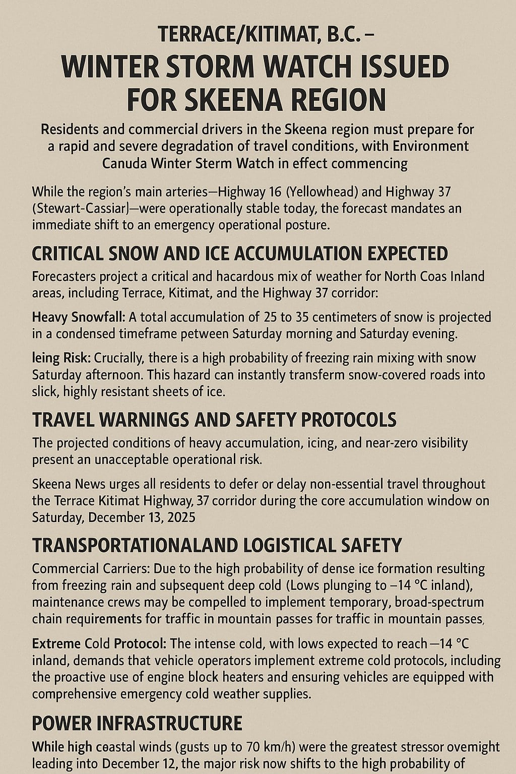
TERRACE/KITIMAT, B.C. – Residents and commercial drivers in the Skeena region must prepare for a rapid and severe degradation of travel conditions, with an Environment Canada Winter Storm Watch in effect commencing Saturday, December 13, 2025.
While the region’s main arteries—Highway 16 (Yellowhead) and Highway 37 (Stewart-Cassiar)—were operationally stable today, the forecast mandates an immediate shift to an emergency operational posture.
Critical Snow and Ice Accumulation Expected
Forecasters project a critical and hazardous mix of weather for the North Coast Inland areas, including Terrace, Kitimat, and the Highway 37 corridor:
- Heavy Snowfall: A total accumulation of 25 to 35 centimeters of snow is projected in a condensed timeframe between Saturday morning and Saturday evening.
- Icing Risk: Crucially, there is a high probability of freezing rain mixing with the snow Saturday afternoon. This hazard can instantly transform snow-covered roads into slick, highly resistant sheets of ice.
The heaviest snowfalls are specifically concentrated around the Kitimat area, indicating that the Highway 37 access road and adjacent sections of Highway 16 will experience the most immediate and profound impact.
Travel Warnings and Safety Protocols
The projected conditions of heavy accumulation, icing, and near-zero visibility present an unacceptable operational risk. Skeena News urges all residents to defer or delay non-essential travel throughout the Terrace-Kitimat-Highway 37 corridor during the core accumulation window on Saturday, December 13, 2025.
Transportation and Logistical Safety
- Commercial Carriers: Due to the high probability of dense ice formation resulting from freezing rain and subsequent deep cold (Lows plunging to −14∘C inland), maintenance crews may be compelled to implement temporary, broad-spectrum chain requirements for traffic in mountain passes. Commercial carriers must ensure full compliance with mandatory winter tire and chain regulations.
- Extreme Cold Protocol: The intense cold, with lows expected to reach −14∘C inland, demands that vehicle operators implement extreme cold protocols, including the proactive use of engine block heaters and ensuring vehicles are equipped with comprehensive emergency cold-weather supplies.
Power Infrastructure Risk
While high coastal winds (gusts up to 70 km/h) were the greatest stressor overnight leading into December 12, the major risk now shifts to the high probability of widespread, prolonged power outages caused by the heavy snow and potential freezing rain. Wet snow and ice accretion apply immense, cumulative load stress on power lines and surrounding tree canopies.
The simultaneous critical travel conditions will severely impede restoration crew mobility, meaning what might normally be a short fault could easily become a multi-day service interruption.
Action Required: Utility service providers and emergency responders must prioritize staging maintenance and restoration crews in high-risk zones, specifically Kitimat and Terrace, prior to the onset of the storm system on Saturday morning.
Status Update – Southern B.C. Highways
The stable status of the Northern network stands in sharp relief against the critical failure of the primary southern corridors. Major routes, including the Coquihalla (Highway 5), the Trans-Canada Highway (Highway 1), and Highway 3, are currently closed due to overwhelming flooding, debris flows, and heightened avalanche risk associated with an ongoing Atmospheric River event. The Northern Interior’s distinct, colder weather pattern has temporarily shielded the Skeena region from the rain-driven hazards plaguing the south.